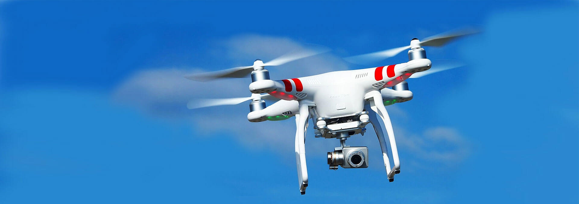
Provides High Performance Services For Multiple Industries
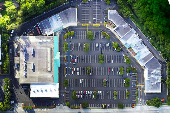
Aerial Mapping
The taking of aerial photographs for making maps and for geologic interpretation.
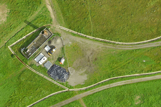
drone Land Surveying
Drone surveys are a faster, safer and more cost-efficient way to survey at height. Sometimes referred to as aerial surveys, UAS (Unmanned Aerial System) surveys, or UAV (Unmanned Aerial Vehicle) surveys, drone surveys are an increasingly popular method of surveying form the air.
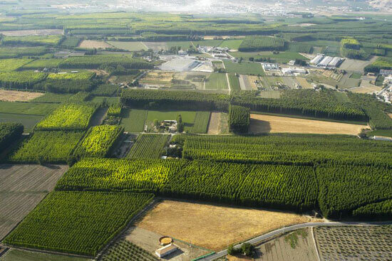
Aerial Photogrammetry
Photogrammetry or aerial photography is the branch of surveying that deals with production of maps such as planimetric or topographic maps by compiling number of photographs taken in that area.
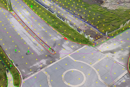
Drone Data Processing
It is a science of obtaining measurements such as length, area, volume etc from an image using PIX 4D and Drone deploy
I’ve seen great companies serving industry solutions in my career. But not to the point where you feel that comfort and trust that we get with Map Surv Company.
Expertly trained team members who take the extra step and go the extra mile, all to fulfill our promise, deliver innovative and dynamic solutions to our customers!
